Google Earth Geography 101 (2006)
If you don't have already, you should download Google Earth . It's free.
Google earth is a virtual globe, that you can rotate and navigate about to any location on earth. Then, typically, for each city, there are thousands of photos, videos, articles, statistics, that you can view.
10 years ago, i have the wish that there's some web database that you can search for any city in the world and immediately see many photos of the place. It is a reality today with Google Earth.
The Tech of Google Earth
One way to judge the technology level of a civilization is to look at their maps. For us, Google Earth is a fair representative. Also, if we can choose only one single software to represent the state of art in software, i'd say Google Earth is a good candidate. The major technologies underlies it directly or indirectly includes: large scale networking, satellite communication system (GPS), photography tech (optics), 3D (modeling/rendering/graphics) tech, database tech, sundry other software tech (font, UI).
To have something like Google Earth (GE), indirectly represents a large part of all human technology. For example, GE relies on photos taken from street, airplane, satellite. Satellite by itself meaning sending autonomous machines to fly in a orbit around earth. And that involves just about all sciences and engineering of this century. Also, GE contains database of volcanoes, sea floor maps, etc. Take the sea floor example. It requires submarines, and other advanced understanding such as sonar for sound.
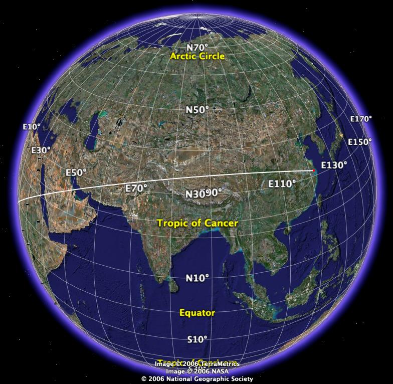
Google Earth Mouse Navigation and Keys
See: Google Earth Mouse Navigation and Keys (2011).
Distances
The following are some distances in numbers, so that, you get a sense of how far.
- Shanghai , China to Buenos Aires , Argentina (semi-circumference of Earth ): 20 k km.
- San Francisco to New York (USA side width): 4.2 k km.
- San Francisto to Tokyo : 8.27 k km.
- New York city to London : 5.58 k km.
- San Francisto to Shanghai: 9.88 k km.
- San Francisco to Haiwaii : 3.85 k km.
- San Francisco to Los Angeles : 0.545 k km.
- Australia side to side: 4 k km.
- Haiwaii to Japan : 6 k km.
- England top to bottom: 0.93 k km.
- Taiwan top to bottom: 0.38 k km.
- Cruise missile , range typically up to 1 k km.
- Intercontinental ballistic missile (ICBM) range 5.5 k km to 10 k km. 10k km range means it can reach the other side of the earth.
Speed
Let's get a sense of how long it takes to fly about from city to city.
The speed of sound ( Mach 1 ) is about 20.41 km per min, or 1225 km/h, or 661.5 Knots . Jet fighter's top speed is about Mach 1.5 to 2.5. The Concorde supersonic passenger plane flies at Mach 2.04. Typical jumpo passenger jet plane fly at Mach 0.85, which is 1041 km/h.
For simplicity, we can assume a jet travels at speed of 1k km/h. So, from San Francisco to New York is 4.2k km, that means 4.2 hour travel time.
Flight Simulator
See: Google Earth Flight Simulator Controls (2011).
Google Earth for History, Literature, Arts
Google Earth is not just for education or understanding geography. It has many uses, by educators/learners, for directions, for sight seeing travel planning, for hike planning, … but i use it much for understanding culture, literature, arts. Here's some example of what i use it for.
One most obvious is for annotation of travelogs. e.g. Las Vegas Travelog, Monterey Bay Aquarium, Reno 2006.
I also use it for annotation of photography of architectures. When showing a gallery of beautiful buildings, it is nice to be able to get a sense of the location. All those elaborate churches, ancient temples, castles… where are they? See: Beautiful Architectures.
I also use it for annotation in literature. For example, in reading Gulliver's Travels, it mentions tens of actual places (often in allusion to historical events as satire). To understand it well, you really have to know where these places are. So, in annotations, i put Google Earth links to the location, for myself and my readers. See: Gulliver's Travels.
Another examples of heavy use Google Earth in literature, is when i read The Thousand-and-Second Tale of Scheherazade by Edgar Allan Poe. It mentioned many locations of natural wonder or man-made wonder. See: The Thousand-and-Second Tale of Scheherazade.
When reading history, literature, for example, when you read about Trojan War of
Greek mythology, about a war over the most beautiful woman, at the city Troy, do you want to know where is Troy?
[Troy]
When i watch movies, usually i go read about the movie before or after having watched it, as a hobby of learning. For example, the movie District 9. The story is about a alien spaceship that appeared in Johannesburg, South Africa.
[Johannesburg]
It is just great fun to look at photos of cities around the world. San Francisco, New York, Shanghai, Tokyo, London, Berlin, Moscow… when you look at them, you are seeing billions of photos of the actual place in recent year, of the local people, the street, the shops, apartments… as opposed to some painted photos from tourism pamphlets or the few decade old photos from academic text books. And, with hundreds of YouTube videos per location, and hundreds of live webcams.
Then, you can just zoom and travel as if by air-plane around the coasts, or in the ocean, looking at the thousands of islands or places that most people never heard of…
For a whole collection of my Google Earth files, see: Google Earth Files (2006).